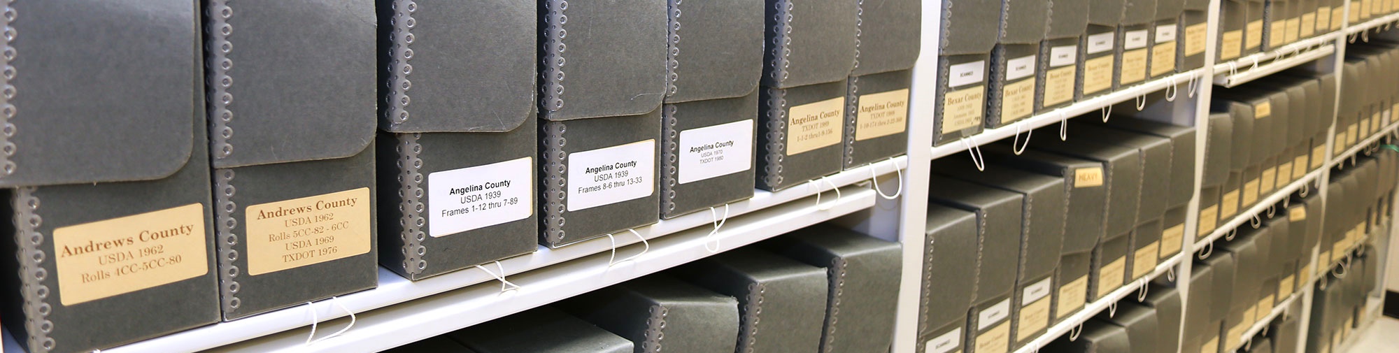
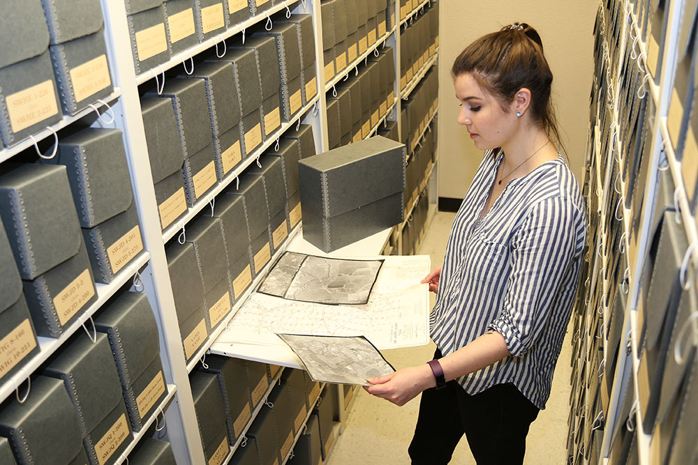
The RDC staff supports the general public access for TxGIO data not currently available through our website. This includes historic aerial photos, paper maps, reports and publications. The archive contains over a million frames of historic aerial photos dating back to 1927 and historic topographic and planning maps dating back to 1890.
 RDC services include:
- Reproductions, digital conversion, and spatial referencing of historical maps and aerial imagery
- Custom mapping using TxGIO datasets
- Digital data reproduction and distribution of orthoimagery, lidar, and other bulk datasets on thumb drives, external hard drives, and via digital download
- Staff assistance in locating geospatial information and related data or information provided through other state and federal agencies
- Data support for TxGIO datasets
- Reproduction of Texas Water Development Board publications and maps
Contact us for more information about these services. Browse, download, order, and inquire about data within the DataHub.