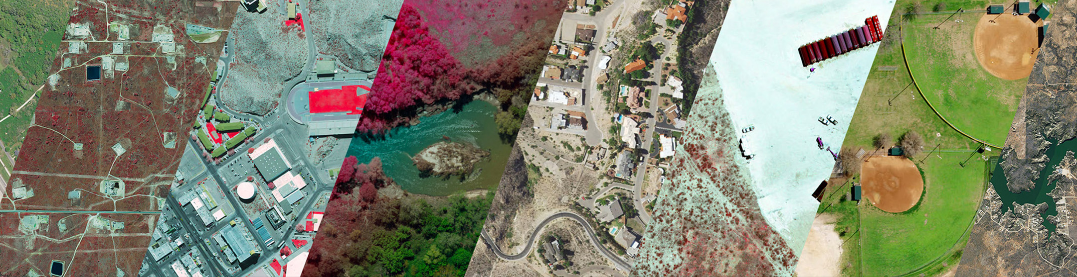
StratMap Orthoimagery Datasets
Statewide Datasets
Leveraging funds from multiple government agencies (State, Federal, and Local), the StratMap Program coordinated statewide orthoimagery acquisitions starting in the mid-1990s which also began the Texas Orthoimagery Program (TOP).
Since then, the state has been refreshed with new orthoimagery in 2004 at 1-meter, 2008/09 at 0.5-meter (under TOP) & 1-meter, and 2010 at 1-meter, all in conjunction with the National Agriculture Imagery Program (NAIP) administered by the USDA-Farm Service Agency-Aerial Photography Field Office.
The USDA NAIP continues to refresh Texas statewide with new orthoimagery every two years at 1-meter pixel resolution (2018, 2020, 2022) during the leaf-on growing season (April – October acquisitions).
Pooling State funds again in 2014, StratMap coordinated a new TOP statewide 0.5-meter leaf-off acquisition that occurred during the 2014/15 (91% of state) & 2015/16 (9% of state) winter seasons.
Regional Datasets
Since 2009, the StratMap Program has coordinated numerous higher resolution (6-inch/1-foot) orthoimagery regional acquisition projects within Texas. Our contracting vehicle, the StratMap Contracts process, provides an efficient way to procure new orthoimagery from a list of prequalified geospatial data product and services vendors.
Learn moreBeginning in 2015, TxGIO began coordination with imagery vendors to provide the Texas Imagery Service to all levels of Texas government entities and public universities. Check out the Texas Imagery Service project page to learn more!