The trained cartographers and data Specialists in the TxGIO Research & Distribution Center can create a custom map to meet your needs.
Custom mapping products include:
- Contour maps
- County-wide maps
- Historical imagery prints
- Recent aerial imagery prints
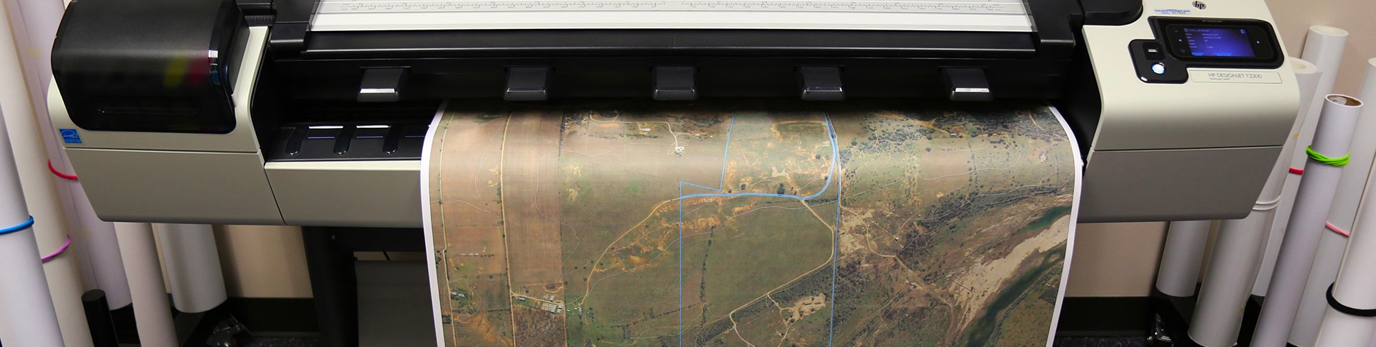
We have high-quality printing capabilities and can handle sizes between 24”–54” wide with any length.
Custom Map Production Pricing
- Staff Fee: $100.00
- Custom Map Fee: $75.00 ($37.50/hour for a 2 hour minimum)
- Additional Time: $37.50/hour
No Refund Policy: TxGIO does not offer refunds for services rendered. All data is available through the Public Domain at no cost. All applicable fees are associated with the cost of data reproduction.
Printing Costs
- Laser Prints:
- 8.5" x 11" = $10.00
- 11" x 17" = $12.00
- Plotter Prints:
Vector maps will be printed on bond paper. Raster maps will be printed on satin.
- 24" x 24" = $20.00
- 24" x 28" = $20.00
- 30" x 30" = $30.00
- 36" x 36" = $30.00
- 60" x 60" or larger = starting at $50.00
Contact RDC for more details (maximum width is 60 inches)
Shipping Costs
- FedEx Standard Overnight
- 24" x 28" or smaller = $10.00
- 30" x 30" or larger = $15.00
- USPS Standard Shipping
- All map sizes = $5.00
Processing Time
TxGIO will reach out to you with a quote for your order within a couple of days of the order form submission.
Per our policy, please allow 3-10 business days for completion.
Rush or expedited orders cannot be accommodated.
Just fill out our order form to start a custom map order. List all available datasets you would like to include in your map then TxGIO Staff will contact you with a quote. You can also send us your own geospatial data to add to any custom map we are creating for you.
Examples of Previous Work
Fishing Map
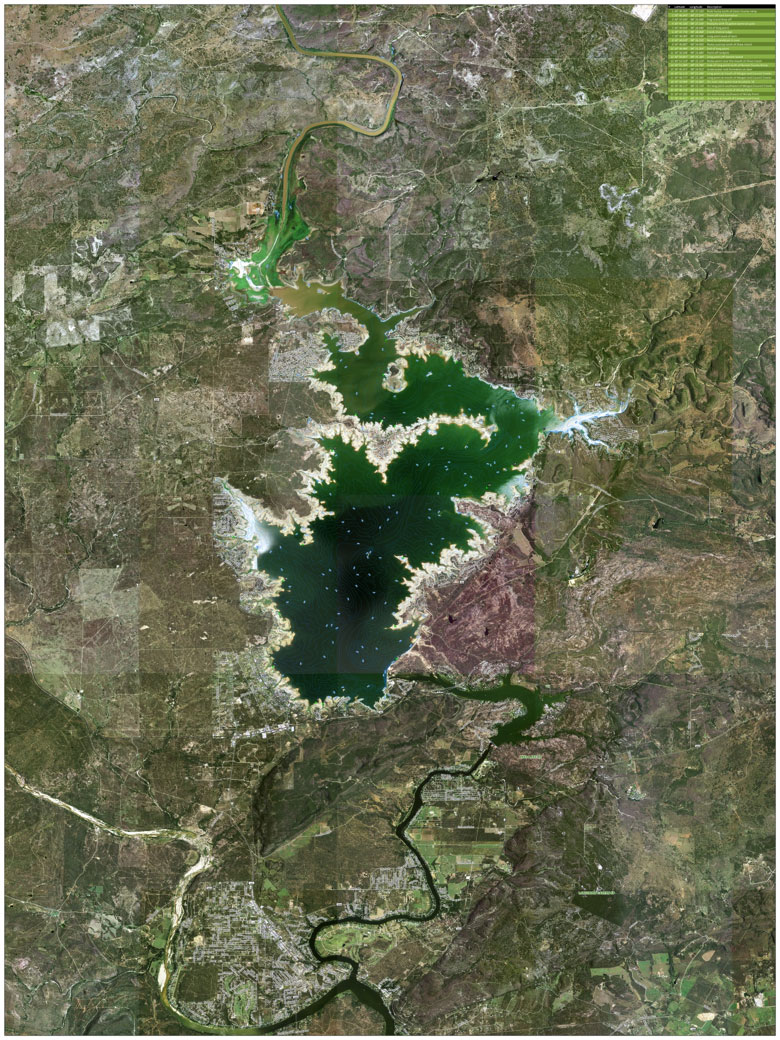
This map combines Bathymetry, Fish Attractors, Orthoimagery and Transportation datasets for Lake Buchanan.
Ranch Map
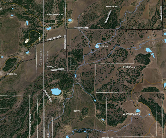
This ranch map includes data from the Original Texas Land Survey, National Hydrography Dataset, StratMap Hypsography, County Boundaries, Transportation and Elevation Contours.
Custom County Maps
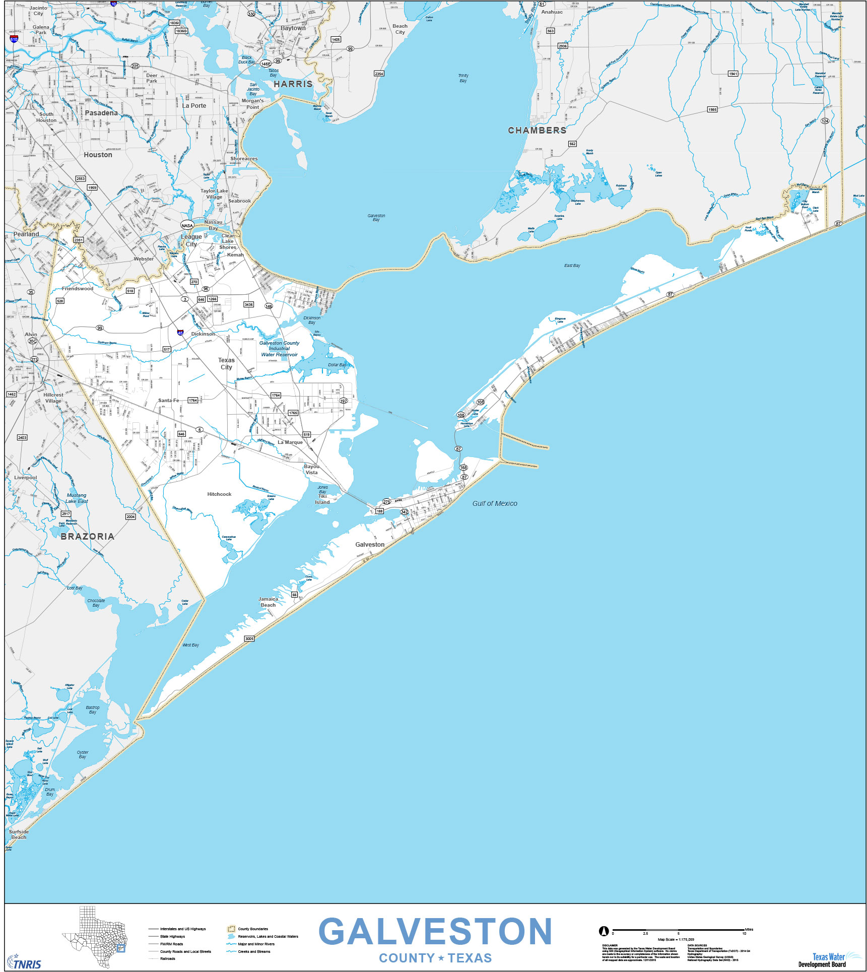
The Custom County Map series was developed in-house by TxGIO Cartographers and provides an individual map for all 254 counties. These maps can serve as basic reference maps and base maps. Galveston County is shown above.
Fly Ash Producers
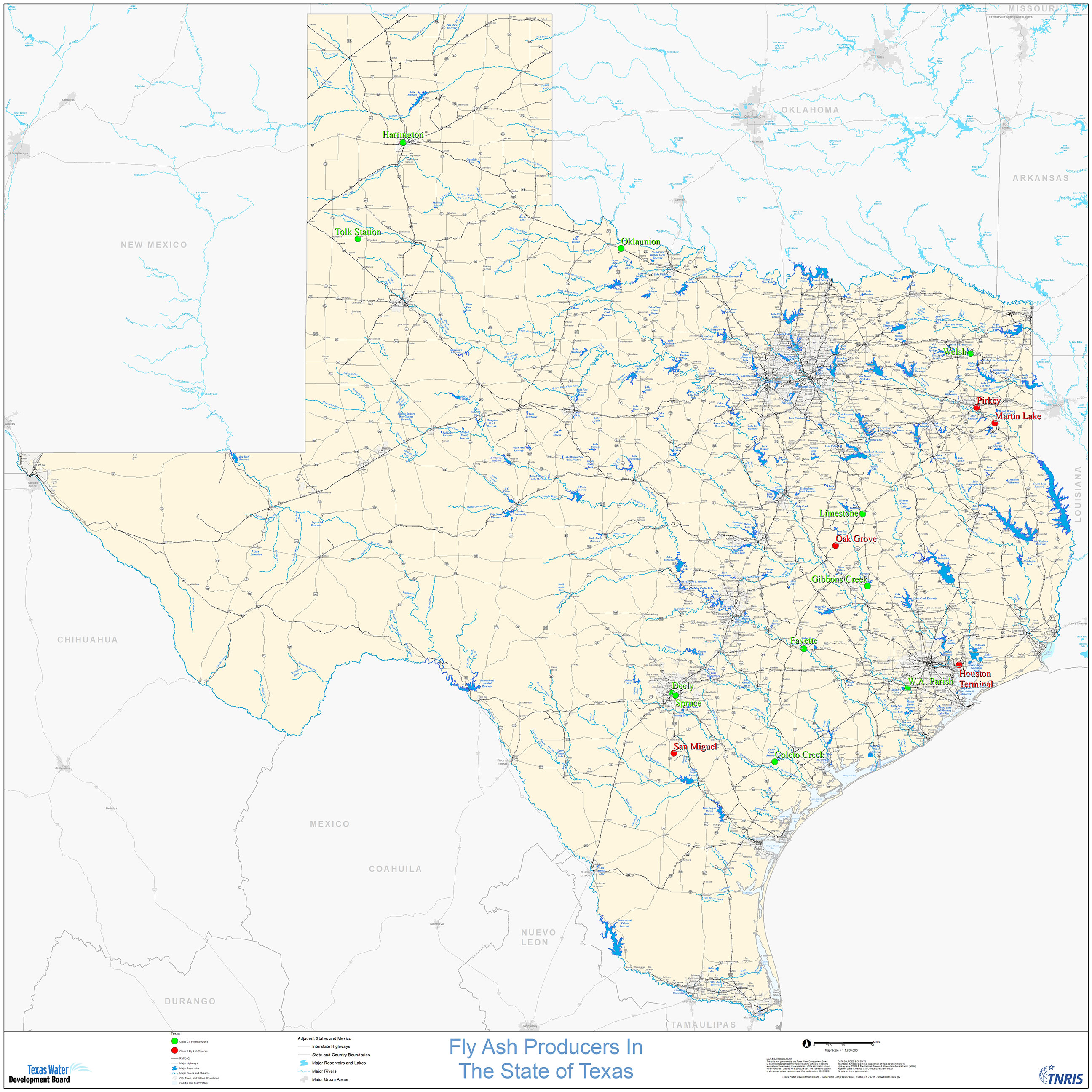
This map shows the locations of Class F and Class C Fly Ash producing plants in the state of Texas. Fly Ash is a byproduct of coal-fired power plants commonly used to improve the durability of concrete for road construction purposes.